Our experience hiking on the Via Alpina from Lenk to Gstaad
We hiked on the Via Alpina from Lenk to Gstaad in June 2020. This is a wonderful hike in the heart of the Swiss Alps. It offers amazing views to Wildstrubel and Plaine Morte Glaicer. We discovered the moonlike landscape of Gryden; took a nap on Trüttlisbergpass and had a delicious cheese fondue in Turbach valley. Read more about our hike on Via Alpina from Lenk to Gstaad below.
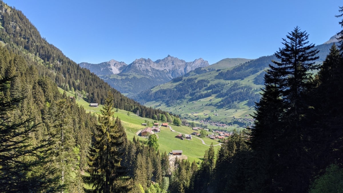
Uphill along the Wallbach waterfalls in Lenk
We started at around 9am in Lenk and we would recommend you to leave earlier. After we left the village behind, the trail led along the Wallbach river and its waterfalls uphill through a forest. There are a lot of stairs so it’s a pretty intense first hour. We were rewarded with beautiful views from the forests back to the village of Lenk. As Berghaus Wallegg was closed we sat on a bench and took a short break.
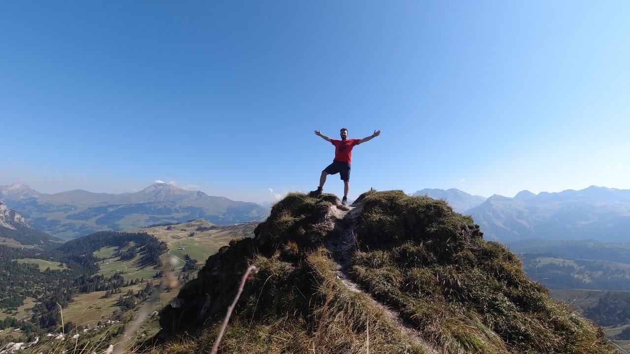
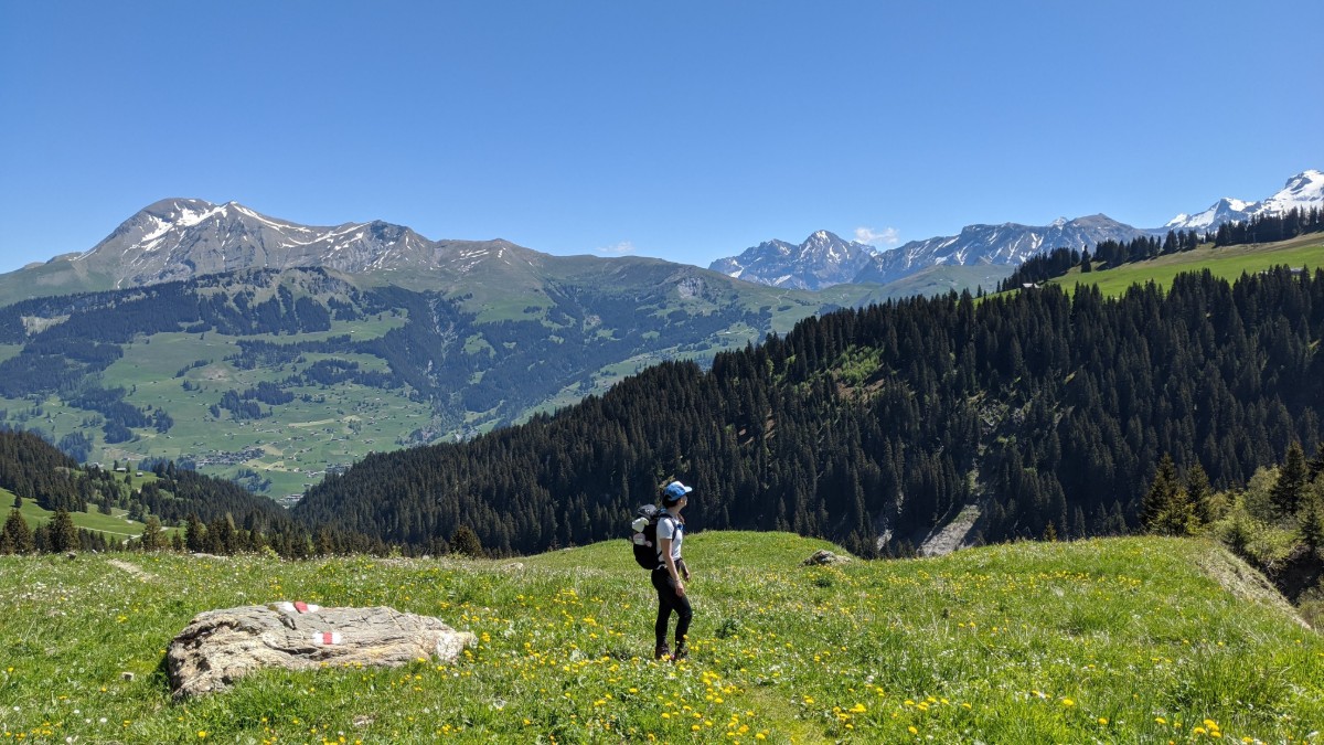
Hiking on the Via Alpina in the heart of the alps
We went back into the forest. Signs along the trail informed about a lynx pack living in these woods – animal lovers watch out! After a while, we left the forest, crossed the river, and reached an asphalt road. 10 minutes later we made a right onto a trail that led us uphill. From here it’s a 1.5 hours hike to the pass. We were surrounded by mountains and felt as if we were in the heart of the alps: Wildstrubel, Plaine Morte Glacier, and the Alpes Vaudoises on the other side.
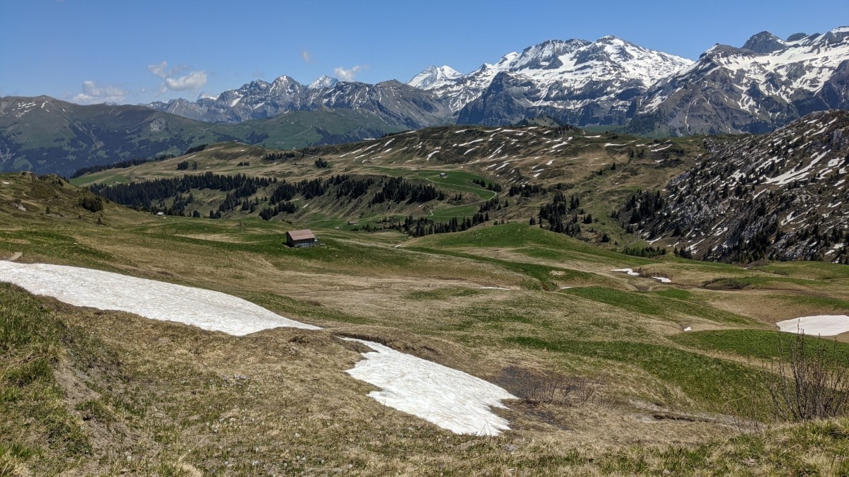
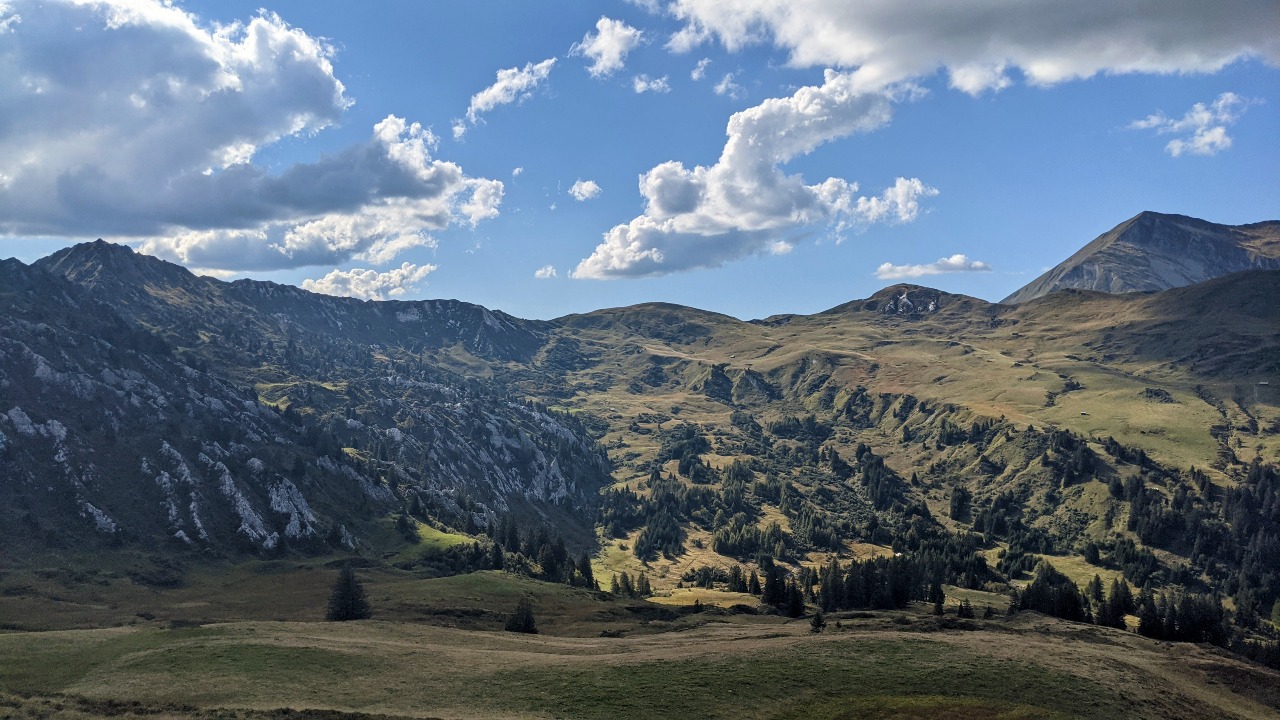
Gryden – a walk on the moon
We finally reached the highest point of this hike, the Trütlisbergpass (2040m). This is a great spot for a picnic with a view. From here we looked over to the Gryden, a moonlike landscape that is the landmark of this area (more in the tip section). We sat down and enjoyed the fruits of the hard work, had a snack, and took a nap.
On the Via Alpina from Trüttlisbergpass into Turbach valley
After the lunch break, a very small path took us down to Alp Wintermatte (1423m). From there we headed into the valley of Turbach. This beautiful valley will test your endurance as it’s quite a stretch. The encounters with many cows along the way distracted us from the fact that our feet started hurting.
Fondue on the hike to Gstaad
In Turbach village we were tired and took a break in the restaurant Sunne-Stübli. The owner had an intense day and suggested a fondue! We couldn’t resist and recharged our batteries with a lot of hot melted Swiss cheese from the region. Don’t miss it if you have the time. and don’t forget to watch the clock. It took us another 90 minutes to Gstaad.

Hike&Dine: Eat at Restaurant Sunne-Stübli in Turbach
“Fill up your calories with a delicious fondue at the restaurant Sunne-Stübli in Turbach”
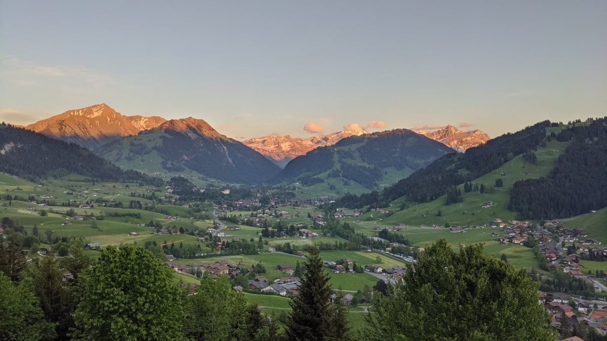
We arrived in Gstaad during the golden hour and walked by the big chalets. A stroll through the not-so-Swiss village – along with fashion stores and art galleries – brought this hiking day to an end. At the train station, we realized that our hotel was not in Gstaad but on a hill in the neighboring town of Saanen. 8 hours is enough walking for a day. We took a cab.
An easier route from Lenk to Gstaad
Here’s an alternative route for your hike from Lenk to Gstaad. In Lenk, take the cable car to either Stoos or Leiterli. This is a shortcut! Instead of hiking all the way up to Trüttlisbergpass, you can save the first 2 hours. In addition to that, there are two other advantages:
1. You will eat the delicious Rösti-croquettes in Berghaus Beteleberg.
2. You will discover and walk on the Gryden, a moonlike landscape on Betelberg (more on the Gryden in the Must-see box below)
This route is still a medium hike difficult hike, though.
Hike&Dine: Eat at Berghaus Betelberg
Interestingly, the easier route allows you to discover a culinary highlight: The Rösti-Croquettes at Berghaus Betelberg. I would always vote for this variation of the hike. It is simply more delicous”