Free interactive Map of the hike from Griesalp to Blüemlisalphütte
If you click on the icons above you can look at a free map of the hike from Griesalp to Blüemlisalphütte. You can also download a GPX file of the hike that you can then use with your phone or smartwatch. Find here an interactive map of the hike to Blüemlisalphütte.
Our experience hiking the Via Alpina from Griesalp to Blüemlisalphütte
We hiked on the Via Alpina from Griesalp to Blüemlisalphütte in July 2021. We had to leave this leg out due to bad weather when we hiked the Via Alpina back in 2020. The hike to Blüemlisalphütte is the so-called “King’s leg” of the Via Alpina in Switzerland. While we liked the views, read in the paragraphs below what we missed on this hike

Leaving Griesalp early for Blüemslisalphütte
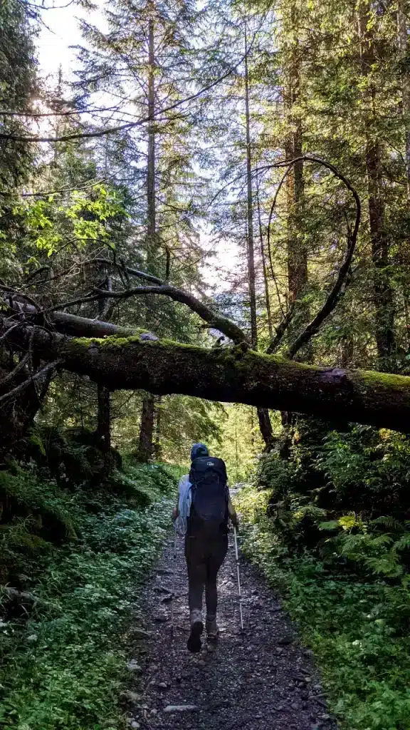
We spent the night at Hotel Waldrand on Pochtenalp and got up. We planed to avoid the tourists arriving on Griesalp with the “post auto” (a bus) from 9 am onwards and left at around 8 am. We walked by the Griesalp hotels. The signpost directed us uphill. 10 minutes later we walked through a beautiful forest. It was a very nice morning, we were the only people. We heard birds chirping and the sun shone through the woods.
Hiking under a tree on the way to Blüemlisalphütte View after the first forest while hiking to Blüemlisalphütte
Hiking uphill to Obere Bundalp
After a while, we left the forest. To our feet lay a beautiful alp. On the left, we saw the hiking path from Sefinenfurgge to Griesalp. Our path took us more uphill, through another forest along a small river. Unfortunately, the weather changes, and where we saw blue skies were suddenly dark clouds. A hill later we arrived at the restaurant Obere Bundalp where we took a break.
Solène found some piggies while hiking to Blüemlisalphütte Hiking over a snowfield to Hohtürli – Blüemlisalphütte
Hohtürli hiking …is climbing
From Obere Bundalp to Hohtürli it’s all uphill. For the first hour, we walked on a Zick-zack trail uphill on a rocky path. Surrounded by clouds, we lost every sense of height. We really didn’t like this path and were quite disappointed, to be honest. It’s not a “nice” hike, but it’s more of an exercise almost every Swiss does once in a lifetime – so did we.

When we thought that the worst was over, we stood in front of a snowfield. Cautiously, we walked over it. Luckily, we were not the first people that they and followed the tracks that other people left. We finally got some ground and the weather was changing, too. We could look back down to Griesalp and realized how far up we have come. But the worst was still ahead – we just did not know.
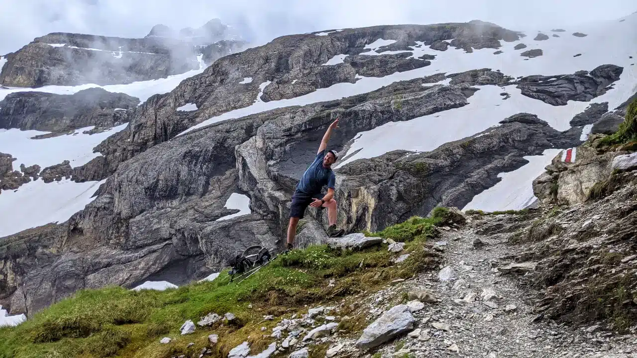
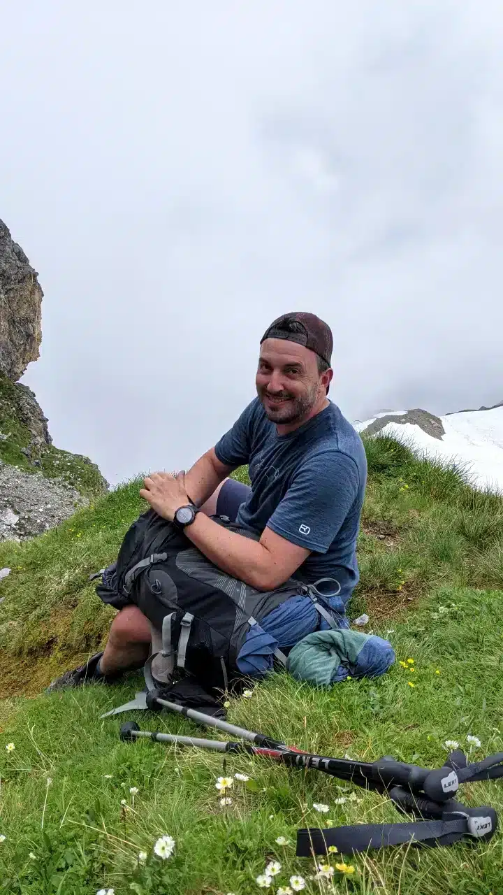
Solène taking a rest while hiking to Hohtürli – Blüemlisalphütte Matthias is taking a break on the hike to Hohtürli – Blüemlisalphütte
Hiking stairs to Hohtürli
For a moment the small path took us along a rock. We enjoyed the amazing views to our left. At times, the path got really steep so there were chains we held on to. And then we saw stairs ahead. Many. Checking the GPX on our phone we realized that we had about. 45 minutes of stair walking ahead. We closed our eyes and hiked on.
Treppen auf der Wanderung zum Hohtürli – Blüemlisalphütte Solène auf dem letzten Schneefeld vor dem Hohtürli
Arriving on Hohtürli
For the last 15 minutes, we had to hold onto a rope and walked along a snowfield. It wasn’t easy. The air up here was thin and we were both breathing as we were running a marathon. After 5 hours, we stood on Hohtürli! What a great feeling!! We looked back at the stairs on the one side and got a first look at what’s coming next. Not for us though – we booked a bunk bed at Blüemlisalphütte.

Blüemlisalphütte, here we are!
From Hohtürli it’s another 10 minutes to Blüemlisalphütte. The Blüemlisalphütte thrones on a rocky hill surrounded by many mountain peaks. It looks impressive indeed. When we arrived, we immediately checked in and put the towels on our bunk beds. After that, we sat on the terrace. Miracle-like, the bad weather disappeared and the sun came back. While we sipped on red wine, we looked out over the mountain peaks of the Swiss Alps.

Blüemlisalphütte sunset
We did not move. Instead, we just enjoyed the amazing panoramic view. The clouds flew by and slowly but surely disappear. Dinner time! We sat at one of the tables and ate with other hikers and climbers. Immediately after diner, we went outside and watched the most beautiful sunset over the Swiss Alps ever. Schilthorn, Niesen, and other Swiss mountains light up when the last sunbeams kissed them – and suddenly, it was all worth it!

Conclusion: What we think about the hike to Blüemlisalphütte
“I always wanted to do the hike to Blüemlisalphütte and I knew the moment has come. I still underestimated how steep the hike actually is.”
Matthias Meyer
Co-Founder of
Hike&Dine
Co-Founder Hike&Dine
“This hike to Blümlisalphütte was super intense. It was just uphill. Watching the sunset from Blüemlisalphütte made up for the strenuous effort”
Solène Stucker
Co-Founder of
Hike&Dine
Co-Founder Hike&Dine
More images from our hike to Blüemlisalphütte
Find here more pictures from our hike from Griesalp to Blüemlisalphütte.


