Hiking Uetliberg
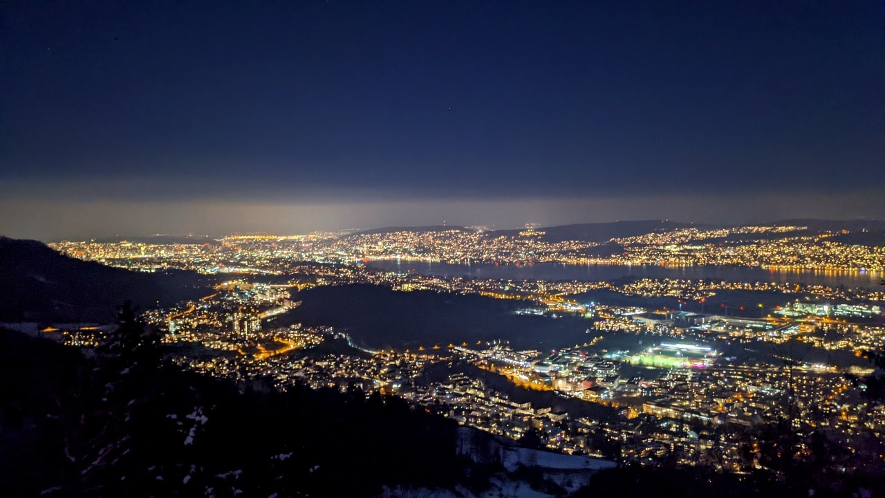
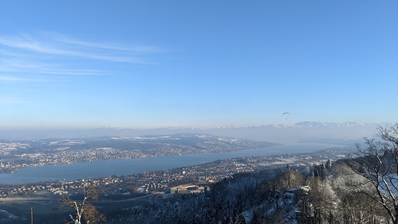
The Uetlieberg offers many great hikes with amazing views over Lake Zurich, the city of Zurich, and the Alps. Hiking is possible in winter and in summer. Given the proximity to the city of Zurich, Uetliberg is a great destination for half-day hikes or an after-work hike. In this post, we feature our favorite hike on Uetliberg, the hike from Uetliberg Uto-Kulm to Felsenegg to Albispasshöhe. We will also present a sporty addition, the hike from Triemli to Uetliberg. And for everyone who loves to combine a delicious meal with a hike (this is us!), we also introduce you to some Dine-options on the way. Let’s go!
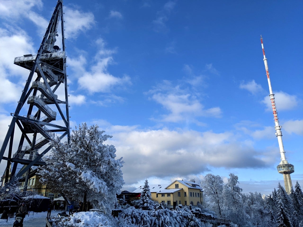
The hike from Uetliberg – Felsenegg – Albispasshöhe is the best hike on Uetliberg
The hike from Uetliberg – Felsenegg – Albispasshöhe is the best hike on Uetliberg. Here are 5 reasons why we think it’s true:
We will describe the hike in 2 legs: 1. Hiking from Uetliberg to Felsenegg and 2. Hiking from Felsenegg to Albispasshöhe. It can be done as one hike, of course. This way, you have all the relevant information to plan your hike according to your needs. Let’s start the hike from Uetliberg – Felsenegg – Albispasshöhe!
Interactive map from the hike from Uetliberg to Felsenegg
Find here an interactive and free map of the hike from Uetliberg to Felsenegg
Our experience hiking from Uetliberg to Felsenegg

This hike starts with a train ride! Take the train from Zurich main station to Uetliberg. The train ride costs 4.40 Swiss Francs (one way) in the second class and lasts 20 minutes. At the terminal station Uetliberg, there’s a restaurant (Gmüetliberg). We take the stairs up and walk about 10-15 minutes to the top of Uetliberg. From here, you have the best view of the city and the lake of Zurich. There is also a viewing tower. However, you have to pay for that – decide for yourself if the money is worth the extra meters. We decided not to and spent the 5 francs for coffee on the sunny terrace of Hotel Uto-Kulm. Obviously, everything here is high-priced. Remember: This is a hike in the financial capital of Switzerland.
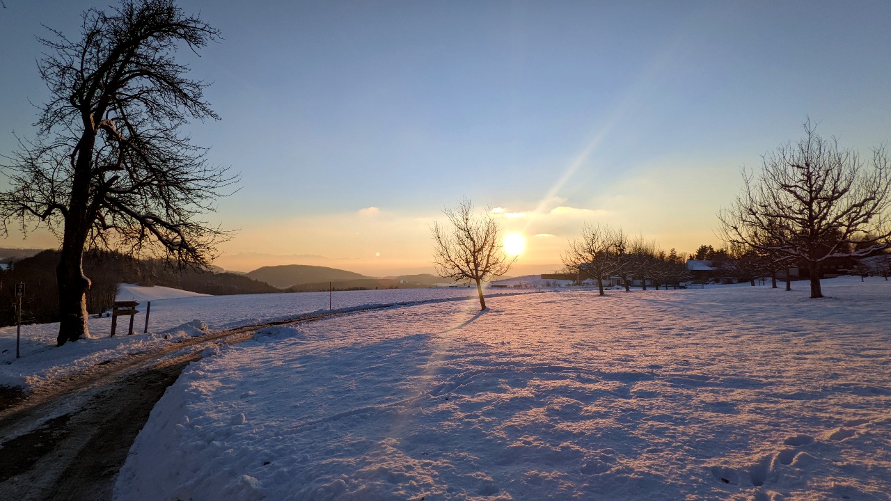
Uetliberg Uto-Kulm is the starting point of our hike to Felsenegg
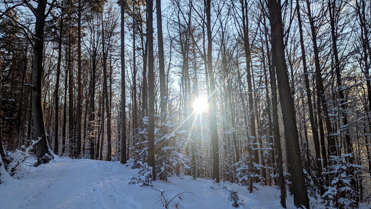
From the top of Uetliberg, Uto-Kulm, we took the stairs down. In wintertime, there can be a lot of ice, so watch out. After 5 minutes of walking down the stairs, we reached a broad gravel road. The stairs were the steepest part of the hike. The thoughtest leg of this hike is already behind us. We passed the restaurant Uto-Staffel. The hike – more of a walk, actually – is pretty self-explanatory. We walked along the road called Gratstrasse and at some point reached a fireplace with a bench and an amazing view, where we sat down for a moment.

A tea hut and a farm on the hike from Uetliberg to Felsenegg
In the mood for tea? We were. About 200 meters after the bench we discovered the tea hut Falltäsche. The wooden house offers tea lovers a welcome rest. We especially like this cozy place in wintertime, when it’s cold and dark. They offer a small menu with snacks and a delicious “Huustea” (homemade tea) for just one franc. After a cup of tea, we went back to Gratstrasse and continued our hike to Felsenegg. Once we left the forest, we reached the Mädikon farm. They have a coffee place which is cute. As we had tea before, we walked on. A little bit further down the road, we reached Balderen Beizli, open on sunny days on the weekend, and a crossroad.
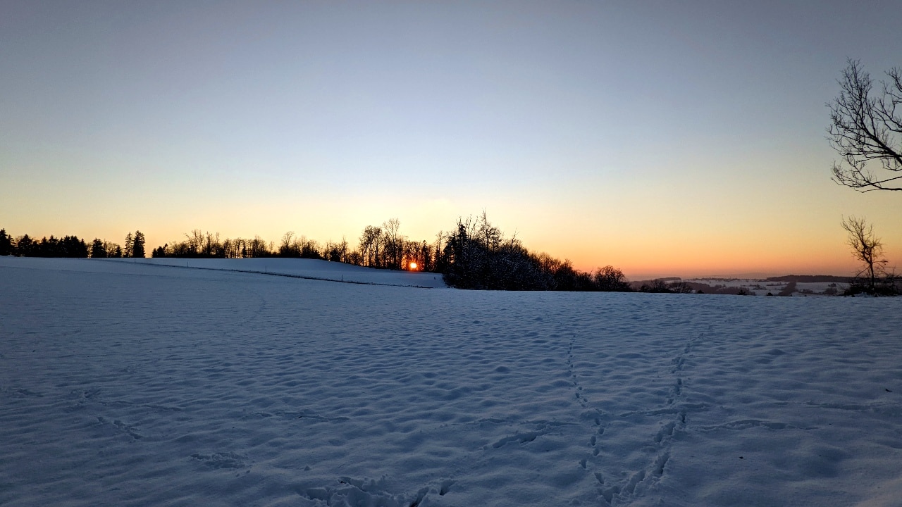
Two paths from Balderen to Felsenegg
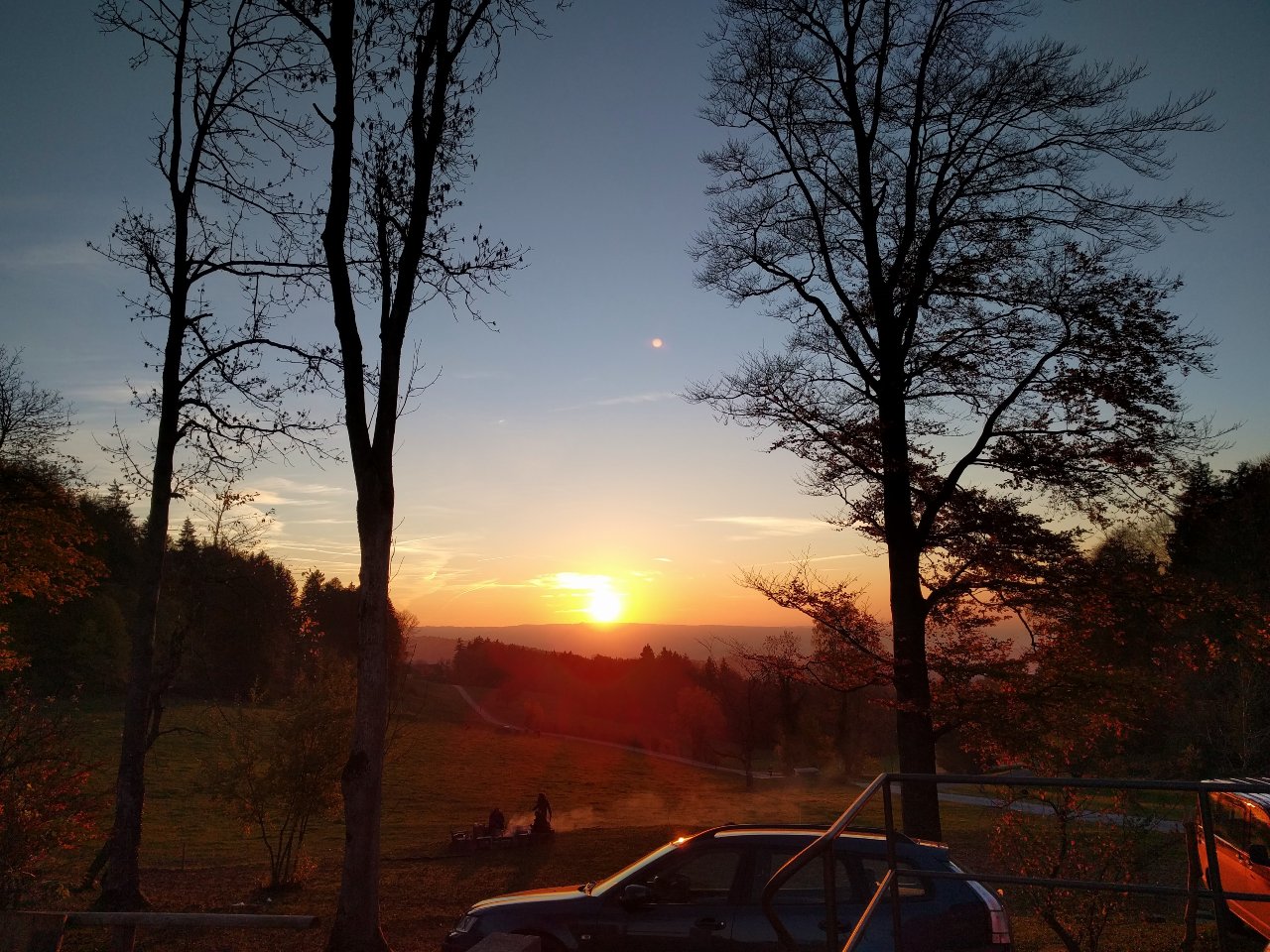
From Balderen there are 2 paths to Felsenegg. Either, you make a left and enjoy a small trail across a field. Or, you continue the hike on the asphalt road to Felsenegg. We took the trail every time, and also this time. This leg of the hike from Uetliberg to Felsenegg is especially beautiful at sunset. The trail brought us to the cable car at Felsenegg from where you can go to Adliswil. A couple of steps away is the restaurant Felsenegg. Proudly, we reached our destination, Felsenegg, and enjoyed the stunning views over Lake Zurich.
The other way around: Hiking from Felsenegg to Uetliberg
Hikers can also choose to do this hike the other way around and start on Felsenegg and end on Uetliberg. To do this, take the train from Zurich main station to Adliswil. From Adliswil train station, It’s a 10-minute walk to the cablecar Adliswil-Felsenegg. After the short cable car ride, make a left and you are standing on the hiking trail from Felsenegg to Uetliberg.
Interactive Map of the Hike from Felsenegg to Albispasshöhe
Our experience hiking from Felsenegg – Buchenegg – Albispasshöhe
Whether you started your hike on Uetliberg or will start your hike on Felsenegg, this experience report is for you! Read below everything about our hike from Felsenegg via Buchenegg to Albispasshöhe.
Train from Zurich main station to Adliswil
On a sunny spring day, we took the train from Zurich’s main station to Adliswil. From Adliswil train station, we followed the sign to “Felsenegg”. There is an icon of a cable car and a big graffiti on the wall in the train station. You can’t miss it! After a 10 minutes walk uphill, we got to the station of the cable car to Felsenegg. The GA and half-fare card of the Swiss National Railway (SBB) are valid here, so we hopped into the cable car in no time.
Cable car from Adliswil to Felsenegg, the starting point of our hike to Albispasshöhe
The short cable car ride offered a great view of Uetliberg and across Lake Zurich. After only 10 minutes, we stood on the hiking trail. We checked the signpost and started our walk to Felsenegg. We reached restaurant Felsenegg in only 5 minutes. We sat on one of the chairs on the big terrace and had a coffee while overlooking Lake Zurich.
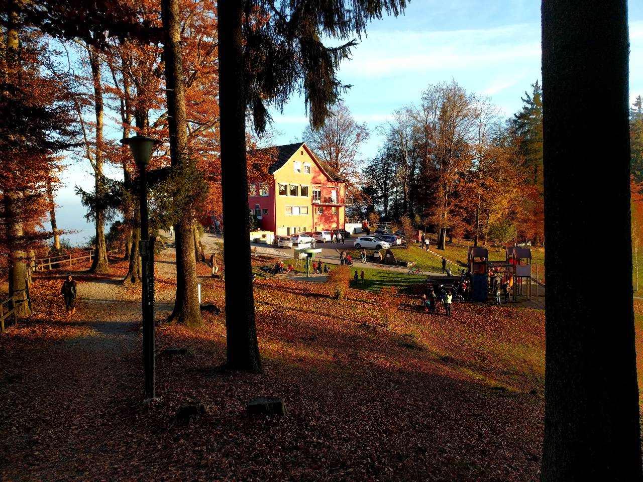
After the coffee break, we hit the trail. In the case of the hike from Felsenegg to Albispasshöhe, the trail is an actual gravel road. It’s wide, open, and easy to walk on. First, we hiked through a forest. Once we got through, we got a first view of the “other side”, the direction of central Switzerland. Beautiful greens, and somewhere on the horizon the silhouette of Mount Pilatus. And in no time, we reached Buchenegg.
Hiking on from Buchenegg to Albispasshöhe
In Buchenegg, there are 2 restaurants. The restaurant Buchenegg is on the left side of the trail; and the other one called “Chnuschperhüsli”, which references the characters of Willhelm Busch (Max and Moritz), is on the right. As we only hiked for 20 minutes, we skipped both, but will come back to sample their cuisine and let you know!
We crossed the road on Bucheneggpass. On the other side of the street, the hiking path goes slightly uphill. For the next 45 minutes, we walked in a forest. Suddenly, we saw a sign pointing to a place called “Albishaus”. Solène got a little bit hungry, so we followed the sign downhill on a small trail. A restaurant with a beautiful terrace offering a view of Lake Zug around it greeted us. What a treat. Next time, we plan to eat here 😉
From Albispasshöhe with the Postauto (bus) back to Thalwil and Zurich
From Albishaus it’s only a 15-minute walk to Albispasshöhe. After only 1 hour and 25 minutes, we reached our goal. We waited for the Postauto (bus). We enjoyed our ride to Thalwil, where we switched to the train. Having arrived in Zurich, we look up to Uetliberg. It’s amazing to have you so close to the city!
Interactive Maps of the Hike from Triemli to Uetliberg Uto-Kulm
Find here an interactive map of the hike from Triemli to Uetliberg Uto-Kulm:
An addition for sporty hikers: Hike from Zurich Triemli to Uetliberg Uto-Kulm
Do you think the hike from Uetliberg to Felsenegg is too easy for you? We got you covered: instead of taking the train to Uetliberg, hike up! The starting point of this hike is the bus stop in Zurich-Triemli . The hike from Triemli to Uetliberg Uto-Kulm is 3.76km long and takes you 426 meters uphill. From the bus stop in Triemli, walk up to the Zurich Triemli train station. Cross the train tracks and walk up to the forest. You can see the yellow sign path pointing at Uetliberg. The hike from Triemli to Uetliberg Uto-Kulm is about 1:25 hours long if you take it slowly. There are many routes you can take to get to Uetliberg. We recommend you stay on the indicated classic hiking route, the Hohensteinweg. For the first 40 minutes, the trail will bring you uphill through the forest. You will gain elevation quickly, and get some first amazing views over the city of Zurich.
From Hohensteinplatz, a children’s playground with a fireplace, you walk on the main path for a moment before you make a left. Now, you are walking on a trail, and some staircases will bring you further up. This is the best bit of this hike as you get amazing views over Lake Zurich. And, you are mostly alone! After the first stairs, another will follow. This last bit will take you steeply uphill until you reach the bottom of the legendary antenna tower which has become the iconic landmark of Uetliberg and the city of Zurich. A couple of steps further up and you reach Uto-Kulm on Uetliberg. From here, you can take the train back to Zurich or continue with the hike from Uetliberg to Felsenegg as described in this article.
Hotels and accommodation for the hike up the Üetliberg
We recommend these hotels and accommodation for the hike from Visp to Visperterminen:
Hotel UTO KULM: The hotel is located at the start of the hike directly on the Üetliberg. The Üetliberg is car-free. From this hotel you have a fantastic view of Zurich and many other places. If you want to relax after your hike, you can do so in the sauna area.
FIVE Zurich: A five-star hotel right at the foot of the Üetliberg. The FIVE has several restaurants and a spa. In summer you can refresh yourself in the outdoor pool
Belvoir Swiss Quality Hotel: The Belvoir is situated at the end of the hike. From Adliswil railway station (end of the hike) you can reach the hotel in 30 minutes by public transport. From the Hotel Belvoir you have a beautiful view of Lake Zurich. It also has a spa and a restaurant with 14 Gault Millau points.
More impressions from our hikes on Uetliberg
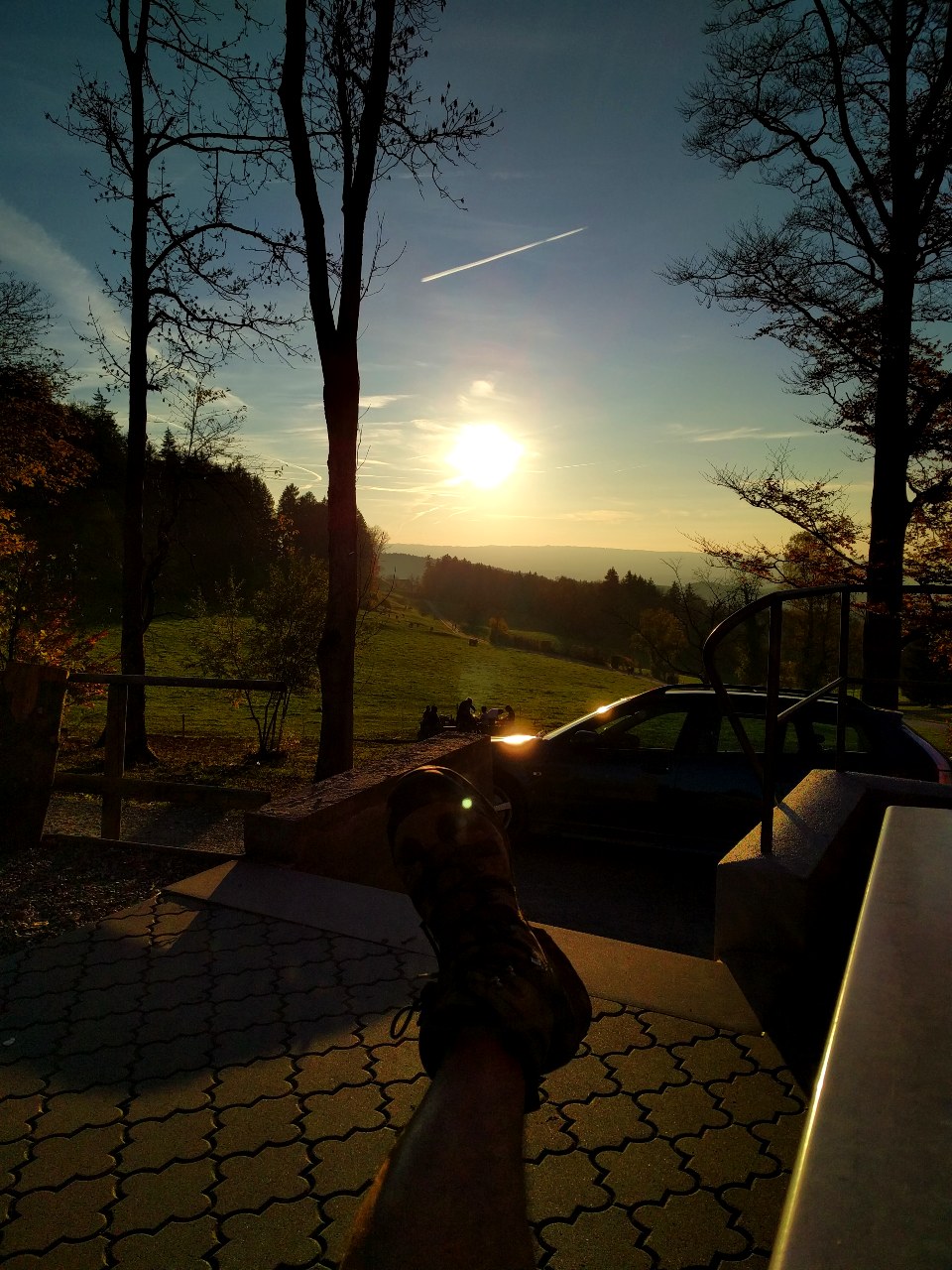
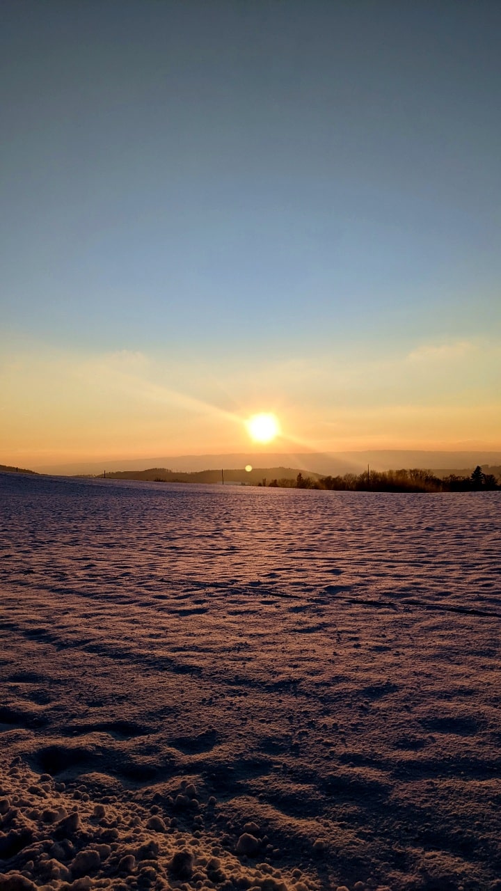
Check out these impressions from our hike from Uetliberg Uto-Kulm to Felsenegg and from Triemli to Uetliberg. We did this hike many times, in summer and winter. We hope you enjoy our selections of photographs from these hikes.
