Videos of the hike to Ochsenalp

Free hiking map and GPX download
On Switzerland Mobility, you can view a free map of the hike and download the GPX file. Here is the route on Komoot:
Facts and figures about the hike
| Section | Description |
| Start / Finish | Gersau (Village / Boat station) |
| Getting there | By boat from Lucerne or Brunnen, or by bus 502 to the “Gersau, Dorfplatz” stop. |
| Difficulty | T2 (moderate) |
| Highest point | Ochsenalp, 1,053 m above sea level |
| Lowest point | Gersau, 435 m above sea level |
| Route | Gersau – Föhnenbergen – Ochsenweide – Ochsenalp – Gersau |
| Highlights / Points of Interest | Sensational views of Lake Lucerne, Pilatus, Stanserhorn, Buochserhorn, Niederbauen, and Bristenstock. |
| Duration | 3:30 h |
| Distance | 7 km |
| Altitude meters | 650 m ascent, 650 m descent |
| Equipment | Hiking boots, sun protection, water bottle. Important: Surefootedness required, only hike in dry conditions! |
| Refreshments / Food & Drink | Picnic from your backpack, Dine-Tip in Gersau: Restaurant Traube 👇 |
Matthias Dine-Tip
Hike&Dine: Gersau savoury cheesecake at Restaurant Traube

As a crowning finale to the hike, a stop in the village is highly recommended. A special highlight is the original Gersau cheesecake at Restaurant Traube. This local specialty is famous far beyond the cantonal borders and is the perfect refreshment after the tour.
Getting there
The journey to Gersau is best made in style by boat from Lucerne or Brunnen. Alternatively, bus line 502 runs directly from Brunnen station to the “Gersau, Dorfplatz” stop. Drivers will find parking in the village center or in the immediate vicinity of the boat station. Be sure to say hello to Denise at the tourist information office and give her my regards! Tip: The coffee there is excellent.
Route description: A challenging ascent and sensational views
The tour begins with a challenging ascent from Gersau up to Föhnenbergen. You will gain elevation quickly on this section, with the first views of the lake opening up after just a short time.
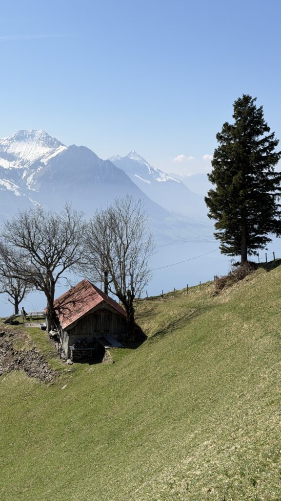
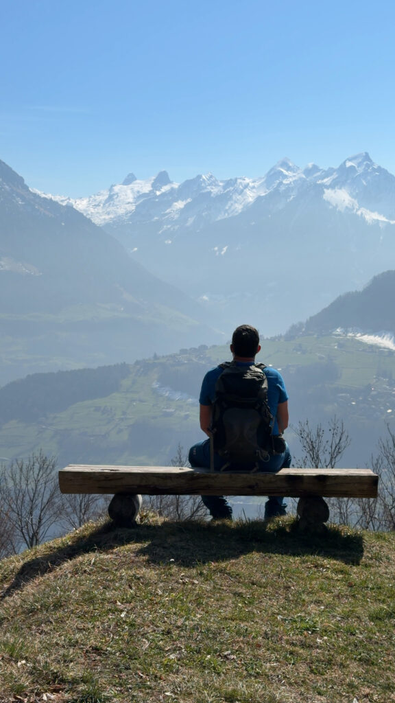
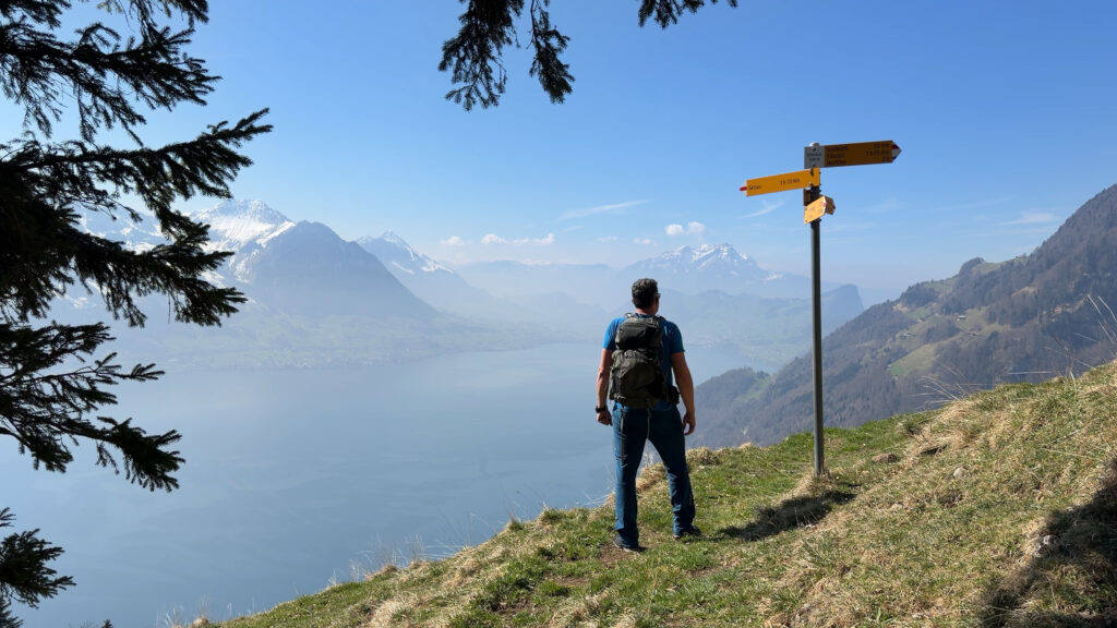
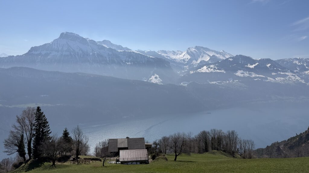
Once at the top, a varied traverse follows towards Ochsenalp. The panorama along this stretch is spectacular: the view extends from Brunnen with the imposing Bristenstock across to the Niederbauen opposite, all the way to Mount Pilatus, the Stanserhorn, and the Buochserhorn. The entire Central Swiss mountain world shows its best side here.
After enjoying the view, the descent back to Gersau follows. Important note: The hike should only be undertaken in dry weather. As the ascent and descent are very steep in places, the path becomes slippery when damp. Sturdy footwear and surefootedness are essential requirements for this route.
Conclusion
This circular hike from Gersau is the perfect choice for anyone looking to combine a demanding ascent with one of the best panoramic traverses on Lake Lucerne.
More impressions of this hike